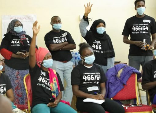
The Department of Lands, Public Works, Housing, and Urban Development, in collaboration with Mercy Corps’ ASAL ADAPT Program, held a three-day workshop in Wajir town that focused on the technical review and validation of the County Geographic Information System (GIS) Policy.
The progressive policy aims to integrate GIS technology into county planning and decision-making processes by promoting the use of geospatial data to enhance evidence-based decisions.
The policy further emphasizes the importance of developing the county’s GIS infrastructure and ensuring its seamless integration with existing data systems in order to provide accurate and up-to-date information that will significantly improve development planning.
A key aspect of the GIS Policy is its commitment to stakeholder engagement, highlighting the necessity of involving citizens in the decision-making process.
The workshop saw participation from notable figures, including County Chief Officer for Lands Mr. Abdullahi Issack.
As the county moves forward with these initiatives, the integration of GIS technology is expected to transform how development decisions are made, fostering a more inclusive and data-driven approach to governance.
by Hamdi Buthul


