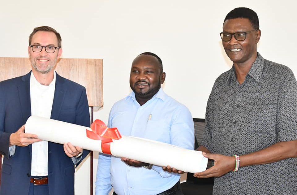
Residents of Lodwar Municipality will benefit from the Sh88 Million Napuu Water project which was commissioned by Deputy Governor Peter Lotethiro.
The event which was also witnessed by USAID mission representatives led by Matt Hutcherson, undersecretary for the National Ministry of Water, Mary Ndunga, and stakeholders in the WASH sector was also used to launch the Ground Water Mapping report for areas in 17 counties in Kenya including the wider Turkana South region.
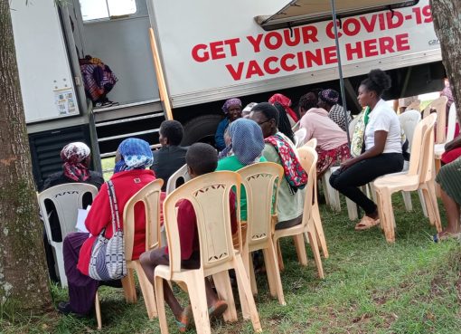
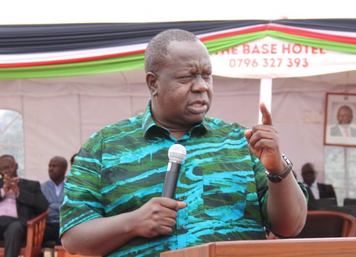
Speaking during the event which also included tree planting and community engagement Lotethiro said Turkana stands to benefit a lot because it is largely dependent on ground water for its human population, animals and agricultural interventions.
A ground water mapping report was also released. The report is known as Groundwater Exploration in Northwest Kenya, Turkana and Marsabit Counties: Groundwater Potential Mapping, Hydrogeology, Economic Assessment, and Capacity Building.
The US Geological Survey collaborated with Northern Arizona University and New Mexico State University in a project funded by the United States Agency for International Development-Kenya and East Africa Mission to investigate the use of satellite image data, along with hydrological and geological data sets, to research and develop maps of the potential of groundwater resources in southern Turkana and Marsabit Counties and to perform an economic assessment of groundwater use.
The results of the optimization modelling indicate the Lodwar and Marsabit pumping regions can be sustainably managed hydrologically and economically. This assessment attempted to increase the extent of reliable aquifer policy choices facing these two regions to better support and inform debates over sustainable aquifer planning.
“The results were very promising and informative for decisions to be made based on scientific information and help water related policy debates. Hydrogeological Assessment, once the mapping was completed using remotely sensed, ancillary, and observed data, the hydrogeological assessment was performed to assess sustainability and to map deeper aquifers in the study area,” said the report.
In collaboration with these partners, cutting edge technology and a multidisciplinary approach was used to map potential groundwater (PGW), assess its sustainability, and developed an economic optimization scenario modeling to evaluate the potential best use(s) of the water resources given the competing sources of the water resources in the study area and set of measures for the least economic cost to sustain aquifers.
Use of Remote Sensing for Shallow Groundwater Potential various remotely-sensed data sets including Landsat, radar, and SRTM, were used to map the PGW to increase resiliency to climate change, promote economic growth and development, improve livelihood, and promote security and stability in the region.
The Hydrogeological Assessment produced five products; 3D volumetric models showing hydrogeological unit thicknesses and extents, estimates of aquifer storage from the volumetric models, potentiometric maps showing regional groundwater flow directions, estimated groundwater budgets, and deep potential groundwater maps.
The PGW maps and the conceptual hydrogeological model provide decision makers with decision support tools that can help inform water supply planning and water-related policy with scientifically-based information Economic Optimization Modelling and Assessment.
The data used in the model are largely assumed and the results of the model are a “work in progress”. The placeholder data produced a working economic model that can be updated in the future with better quality data by Kenyan water professionals. Capacity Building and Technology Transfer Capacity building and technology transfer focused on providing formal training in groundwater modeling, groundwater field techniques, and how to obtain and interpret remote sensing data and applications to develop groundwater potential maps.
The nature and subject of this training was determined in close consultation with the relevant local agencies. The capacity building and technology transfer was conducted over the life of study and includes the use of light-weight portable computer system, called the GroundWater Exploration Navigation System (GWENS), to display the PGW maps and in conjunction with a GPS unit, can be used to navigate to locations of potential groundwater.
Lotethiro lauded the Ground Water mapping report as a strategic tool that will be used to inform borehole drilling initiatives in the future to avoid hitting dry wells where he also urged the public to conserve water towers to safeguard aquifers and other ground water resources.
By Peter Gitonga


