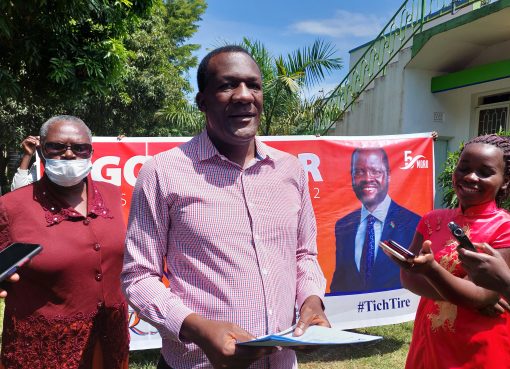
Tana River County Governor Major (RTD) Dadho Godhana has launched a Geographical Information System (GIS) laboratory at Hola that will help to map and identify parcels of land and their use in the area.
Speaking at Hola town, Governor Godhana thanked Food Agricultural Organisation (FAO) for donating the Laboratory equipment worth Sh. 30 million that will assist the County government know the acres of land in the area that is private, communal and government owned.
The Governor said the launching of GIS laboratory will help the County government initiate the process of surveying and demarcating land in the County.
He said over 75% of the land in the County is not demarcated hence, referred to as communal land and the area residents cannot use it to borrow loans from financial institutions.
He said, “Following the establishment of GIS laboratory we expect before the end of 2020 residents of Tana River County will start obtaining title deeds for their land”.
Speaking at the same function, FAO Country Representative Mr. Khamis Williams said the GIS equipment donated by his organisation was enough to identify land parcels in the whole Coast region.
Khamis said the equipment will be useful in mapping, registering and keeping data for land parcels in Tana River County hence cases of land grabbing will be easily identified.
He said FAO has established seven other GIS laboratories in seven Counties in Kenya and Tana River County was the eighth one, adding that Baringo and Kakamega are some of the other beneficiary Counties.
He also said FAO will continue supporting the County government in areas of capacity building of County government staff and the County Assembly in order to ensure good service delivery to the area residents.
By Simon Guruba


