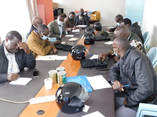
The County Government of Nakuru in collaboration with the Regional Center for Mapping and Resources Development (RCMRD) will implement a crop monitoring programme in Subukia, Bahati, Gilgil, Njoro and Kuresoi North Sub-Counties.
The County Director for agriculture Fredrick Owino said the mapping would assist in the achievement of food security, and nutritional health and enhance agricultural sustainability.
Speaking today at a Nakuru hotel, during the training of Sub County Agricultural Officers (SCAOs) from the five sub-counties, the director said, they will be issued with helmets mounted with cameras.
He said the cameras which are mounted on the helmets were issued by the RCMRD to the agricultural officers, and they operate on satellite technology for data collection and transmission since they are enabled by GPS.
Additionally, he said the data collected will help farmers take prompt action, especially on proper prior planning, budgeting and crop insurance, and crop monitoring for infestation of pests and other calamities.
He added that crop monitoring was an absolute necessity in the current climate change in the country, to facilitate agricultural stakeholders and policymakers to make informed decisions based on accurate data.
By Veronica Bosibori


