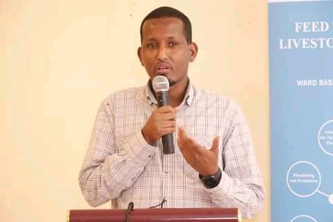
Wajir County in collaboration with Mercy Corps organisation has launched a Geographical Information System (GIS) to mainstream integrated Ward Development.
The launch held at a Wajir Hotel was presided over by Governor Ahmed Ali Mukhtar, his Deputy Hashim Musa Yussuf and Mercy Corps County Director Yohannes Wolday.
It emerged that the Wajir GIS laboratory has been in existence for the last two years but the database has not been availed online and can only be accessed physically.
“An online platform is required by upgrading the database into an integrated web-based GIS system to address data management challenges”, observed the Mercy Corps Director.
The Governor said the County Executive will take charge of legal framework formulation, budgetary allocation and provision of key staff required to realize GIS objectives in the County.
“My government has committed Sh 10 million towards the implementation of the GIS strategy which will help mainstream county planning and decision making across all departments,” said Mukhtar.
According to the Governor, the County Government in partnership with USAID funded Kenya Livestock Market system program developed an integrated and comprehensive ward-based development model where the County Government, communities and development partners jointly assessed community needs, prioritized the need and developed action plans leading to a ward level development plan.
Through the support of Mercy Corps, the Ward Development plans for Bute, Hadado, Habaswein, Tarbaj and Eldas are now in operation.
Governor Mukhtat pledged his government’s commitment to scale up and adopt the integrated development model in the rest of the 25 wards in the County.
GIS which is a system that creates, manages, analyzes and maps all types of data which is then connected to a map, integrating location data; where things are, and descriptive information showing what things are at the location.
GIS therefore helps users understand patterns, relationships and geographical context leading to improved communication and efficiency as well as better management and decision making.
By Donald Ngala


