The Kenya Forest Service (KFS) intends to rehabilitate 400 acres of Gathioro forest, devastated by wildfires early this year.
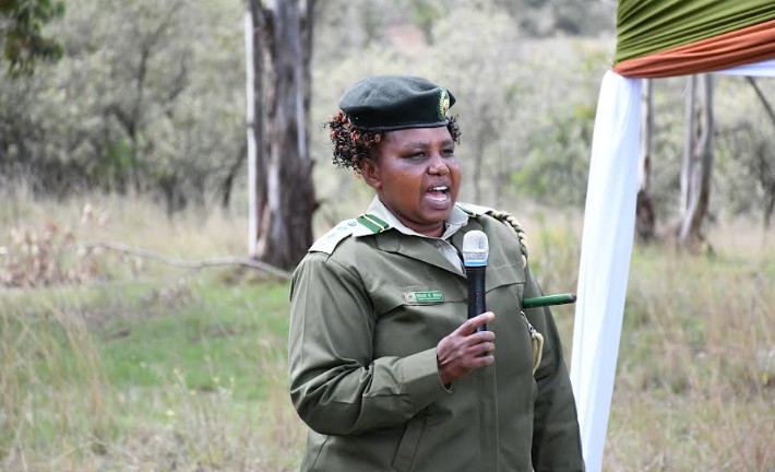
Nyeri County Forest Conservator Esther Mugo says they plan to replenish the affected areas with indigenous trees as part of KFS efforts to increase forest cover around the Mount Kenya forest circuit.
Mugo has also urged members of the public to desist from igniting controlled fires in their farms, saying the practice is to blame for the frequent fires that are often reported in forested areas during the dry season.
“Parts of Gathioro forest station that got burnt within the Mount Kenya region and around 400 acres got burnt, translating to about 160 hectares.
This area was covered by grass and some shrubs, and no trees were touched. In this area we expect to plant indigenous trees and expect that in the ongoing rains the whole area will be under tree cover.
Within Aberdare we also had a fire, where an area of around 200 acres was burnt. This area was within the moorland, so no trees were touched there. Within the moorland we don’t do any planting because it is only grass that is there, which we expect to regenerate once it rains,” she told KNA.
The conservator disclosed that KFS has entered into a partnership with other stakeholders, including Community Forests Associations (CFAs), National Government Administration Officers (NGAO) and non-governmental organisations, to undertake rehabilitation activities in all the protected forests during the ongoing long rain seasons.
In addition, KFS has roped in the Nyeri County government in developing and managing forest resources on community and private lands, as part of environmental conservation efforts.
The efforts are part of the government goal of increasing the country’s forest cover to 30 per cent by 2032 by planting 15 billion seedlings.
Forest cover and tree cover in Nyeri currently stand at 40.17 per cent and 45.89 per cent, respectively, according to the National Forest Resources Assessment Report of 2021, with Mount Kenya and Aberdares forming the main water towers in the county.
“Nyeri County has over 3,000,000 plantable seedlings, both indigenous and exotic, which are expected to be planted out by the end of the ongoing rainy season.
Over 500 hectares in state forests will be regenerated both for industrial forest plantation and rehabilitation purposes. Tree growing and management in farmlands and degraded areas should be emphasised to contribute to the achievement of the targets as well as assist in controlling desertification and improvement of livelihoods,” she added.
Nyeri is one of the six County Conservation areas found within the Central Highlands Regional Conservation Area.
The total gazetted forest area in the County stands at 115,435.14 hectares, with Mount Kenya and the Aberdare Ranges forming the two major forest ecosystems.
Mount Kenya forest ecosystem has seven forest stations that cover a total of 64,470.92 hectares.
They include Nanyuki, Gathiuru, Naromoru, Kabaru, Hombe, Ragati and Chehe.
The Aberdare ecosystem has five forest stations covering an area of 50,964.22, including Muringato, Kabaru, Hombe, Zaina, Kiandongoro and Zuti.
By Samuel Maina


